
3,50 €
|
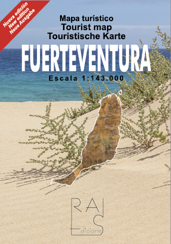
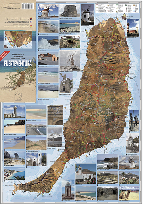
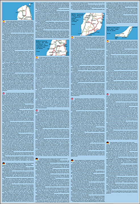
MAP OF FUERTEVENTURA For the preparation of this map, the photographic montage of the Island has served as a basis, like the larger scale 1:100,000 map. On this basis, all the cartographic and bathymetric information has been placed. Being able to "see" our position on the map from above gives us additional information that others lack and makes it the "next step" of paper cartography. It also contains photographs of the places with the greatest tourist interest. Unfolded size: 48 x 68 cm. Folded: 12 x 17 cm. Printed on two sides. On the back is a mini guide with four driving routes. Special paper for maps (cross fibers) that extends its useful life. Maps are subject to IGIC. Formato: 48x68 cm. ISBN: 9788492205790 Shipping: up to 2 kg free shipping by Post Libris, with deliveries in 10 to 15 days (depends on the post office). For other heavier options or courier shipping, consult before making the purchase. For any questions you may have regarding this book or your order: info@raiediciones.es |
|